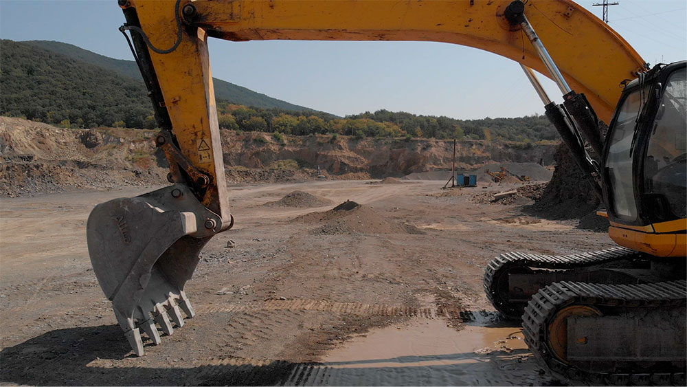
Excavations

One of the keys for sound engineering management of infrastructure projects is to be able to have access to quality transparently audited information as quickly as possible. Maxwell GeoSystems’ web-based MissionOS system is developed to provide quick access to all site technical data, at any given time & location and with powerful tools to aid analysis and reporting.

Excavations

In an age where communication and easy access to information are vital factors for Engineers, Consultants, Stakeholders and Owners for the analysis, interpretation and decision-making, the demand for setting up web-based Integrated Data Management Systems for small and large scale infrastructure projects has increased in recent years. Maxwell GeoSystems has recently developed a module of its MissionOS system, catering specifically to Shaft and Tunnel Excavation works, that is designed to provide timely and sufficient information on instrumentation data combined with construction related works. Engineers & Consultants are able to review both instrumentation data and construction progress of excavations for tunnels and shafts against planned progress. The module is also designed to display current excavation levels for shafts, and positions of machines for tunnel excavation works (in both large diameter and micro tunnelling works). All these can be viewed with respect to chainage and geology, both in 2D sections and 3D views. The system is also able to reflect the design predictions and the predicted review levels (Alert, Action and Work Suspension), the actual readings recorded to date on site, instrument trend-lines, settlement against location of excavation works and its effect on surrounding sensitive structures, rate of settlement against time, Gaussian plots, contour plots, among others.

Key Capabilities Include:

  • Cross section view in 2D that shows Excavation Level for Shafts combined with instrumentation results.
  • 3D profile in Sketchup that shows excavation progress for both vertical and horizontal excavation.
  • Generation of different type of contours (settlement contours, water/piezometric level contours and geological contours from AGS data).
  • An interactive blogging system which consolidates information and decisions from stakeholders involved within a project that is documented, generated and auto archived for easy access.
  • Generation of an Interpretative Monitoring Report (IMR) that identifies instrumentation data trends and the construction works that may have caused such trend.
  • Y1Y2 Plots that display Instrumentation Data (maximum of two instrument types) against Construction Activities, which will provide information of instrument data trends and the specific activity that caused it.
  • Gaussian Curve generation along Tunnel Excavation works

Category

Excavation Monitoring

MissionOS System

Mission Monitor

MGS-Share