Mining

Mining, whether open cast or underground, collects huge amounts of data both tunnelling, geotechnical, environmental and hydrological. Couple this with a variety of temporary geotechnics for tailings dams, earthworks and harbours, means that mining companies need data solutions that can adapt quickly to the changing environment and requirements whilst still maintaining centralised business standards.

Mining

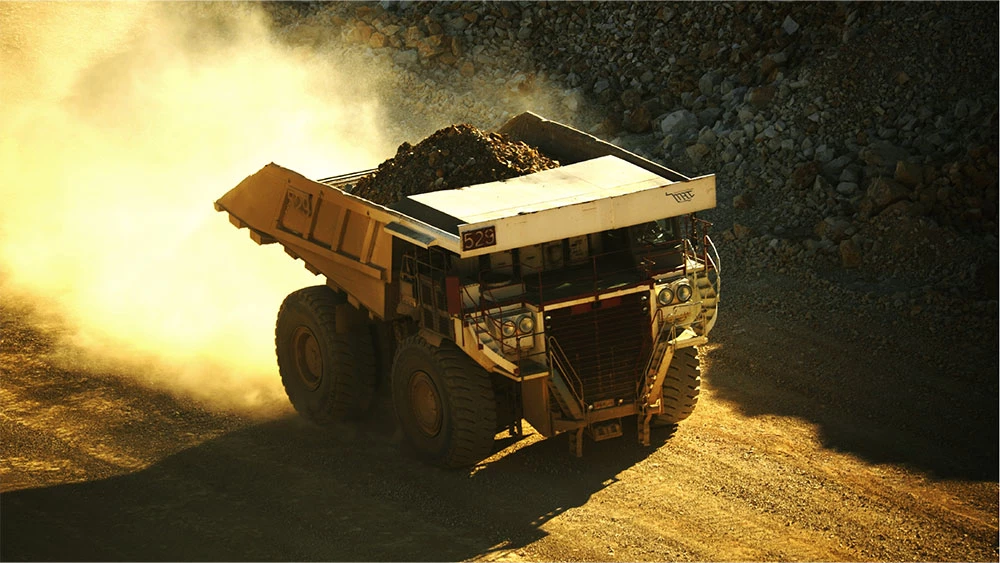
Image Koolan Island, Australia

Enter MissionOS with its totally configurable data structure for both instrumentation and construction elements. MissionOS manages diverse data sets with a focus on the infrastructure and mining sectors. Developed totally in-house by Maxwell GeoSystems’ team of programmers and engineers, MissionOS is the most nimble platform to respond to varying site requirements. The platform has all aspects of mining construction covered and has been proven on some of the most remote and difficult mining operations MissionOS can help mines deal with varying geological characterisations of the ground using digital data combined with paper records to create models of the ground and surrounding environment. The system can take predictions from a variety of sources and use these to guide construction both for productivity and in terms of support and mine safety. Instrument and construction data models can be designed or taken from pre-prepared libraries and all data is displayed in map, section and 3D. For added context MissionOS can absorb mine plan models from a number of external sources including BIM and 3D CAD

Key Capabilities Include:

  • Configurable instrumentation and mining construction data models
  • Real time data upload with automated transparent processing
  • Connect dataloggers from instruments and mining machinery
  • Automate productivity reporting and achieve close insights into data using productivity experts to help design the monitoring systems
  • Automate instrumentation and survey using MissionOS with help from our instrumentation and geomatics experts and partners
  • Displays in Map, Section and 3D using customisable GIS and on-the-fly rendering
  • Powerful data processing and alerts management featuring a comprehensive audit system
  • Rich reporting capabilities using the canvas builder, binder and report scheduler tool.
  • Rich analytics using consolidated summary reports for both instruments and construction/mining data.
  • Dashboards focussing on key business metrics

Category

Mining

MissionOS System

Mission Monitor

MGS-Share